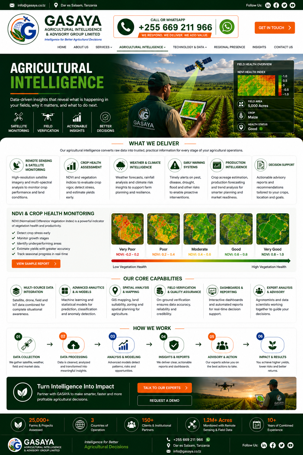
Remote Sensing & Satellite Monitoring
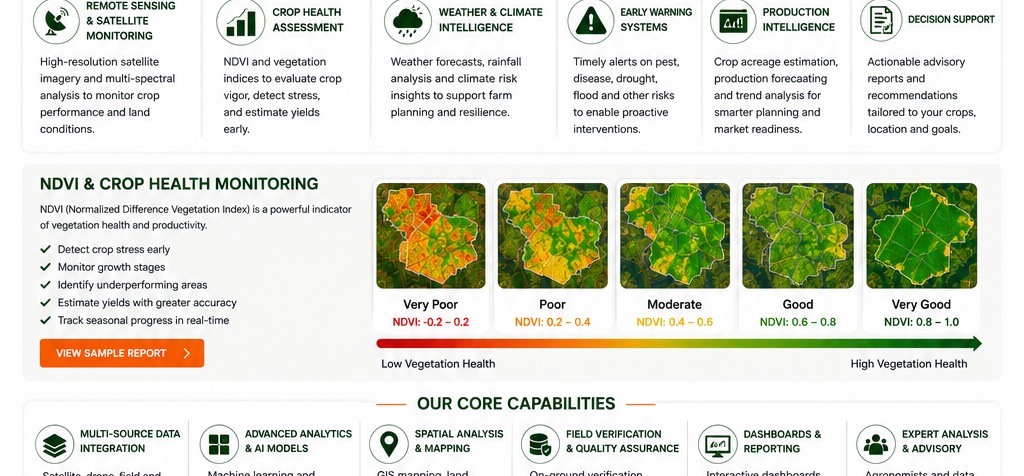
High-resolution satellite imagery and multi-spectral analysis to monitor crop performance and land conditions.
Read More →
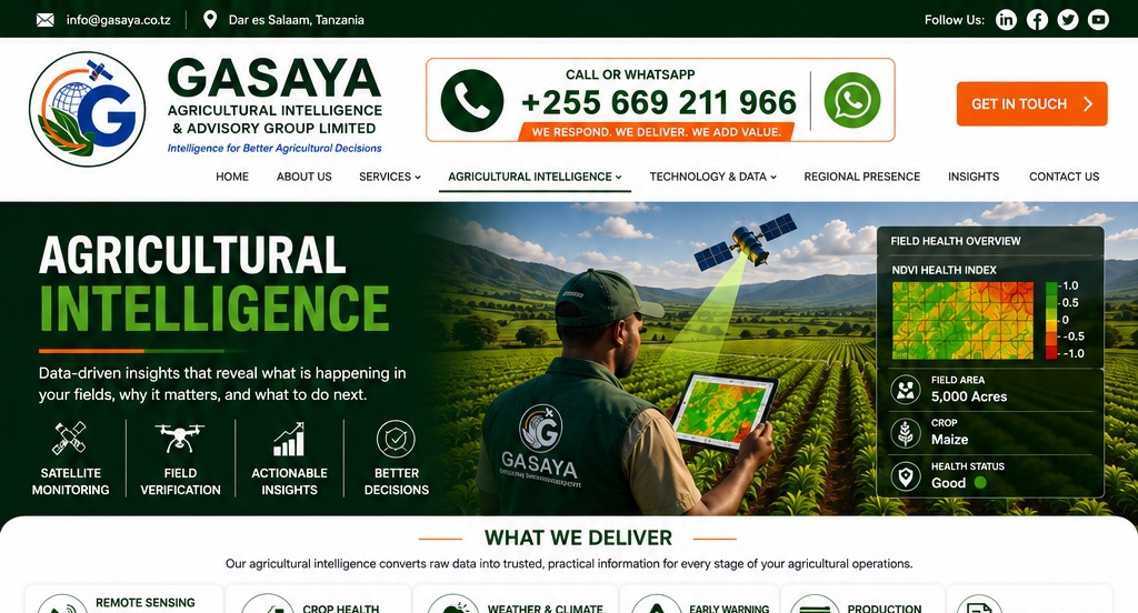
Data-driven insight that reveals what is happening in your fields, why it matters and what to do next.
High-resolution satellite imagery and multi-spectral analysis to monitor crop performance and land conditions.
Read More →NDVI and vegetation indices to evaluate crop vigor, detect stress and identify underperforming areas.
Read More →Weather forecasts, rainfall analysis and climate-risk insights to support farm planning and resilience.
Read More →Timely alerts on pest, disease, drought, flood and other risks to enable proactive interventions.
Talk to Our Experts →Crop acreage estimation, production forecasting and trend analysis for smarter planning and market readiness.
Request a Demo →Actionable advisory reports and recommendations tailored to crop, location and client objectives.
Get in Touch →NDVI is used as an indicator of vegetation health and productivity. GASAYA combines remote sensing with field evidence and professional interpretation to detect crop stress early, monitor growth stages and identify underperforming areas.
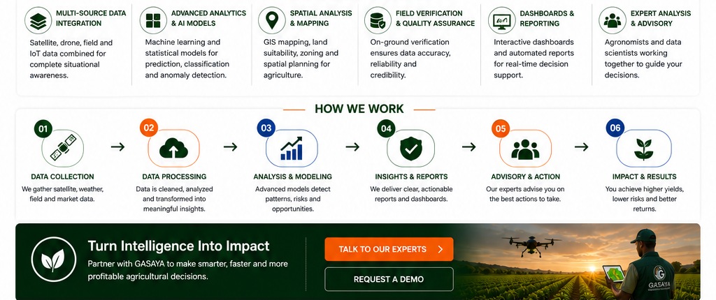
Gather satellite, weather, field and market data.
Clean and transform data into meaningful inputs.
Detect patterns, risks and opportunities.
Deliver clear reports, dashboards and alerts.
Translate intelligence into practical recommendations.
Track outcomes, risk and performance over time.
Talk to GASAYA about crop monitoring, satellite intelligence, early warning and project decision support.
Dar es Salaam, Tanzania · +255 669 211 966 · info@gasaya-group.com